If you’re looking for a weekend challenge, I’ve got the perfect thing! Choose your favorite city/town/area, and use it as inspiration for an illustrated watercolor map. In this post, I’ll walk you through the process! (2020 update: this is a pretty involved project, so I ended up making an eCourse over how to create it.…
Today’s tutorial isn’t for the faint of heart — but I promise that you can do it! An illustrated watercolor map usually takes a couple of days to make, and it requires some artistic judgment calls. Still: the creation process is so enjoyable, and the unique results justify any time and effort spent to make it.
Why Make an Illustrated Watercolor Map?
You’ll probably encounter illustrated maps the most in a wedding context. A map makes for an excellent addition to any invitation because it allows you to add a lot of personality to the presentation. Some couples choose to showcase the places in the area that are special to them, while others treat the map as more of an informational tool (e.g. this is where we’re getting married, this is where the reception is, etc.).
I only used a touch of gray watercolor on the map for this whimsical Kaitlin Style calligraphy wedding suite. The map shows the location of the couple’s wedding, along with a few suggestions for places to go in the area.
Sometimes, illustrated watercolor maps may commemorate something else, whether it’s an anniversary or just affection for a particular city or area. You can make a watercolor map as a gift for someone, or you can create it as a sketchbook project (or simply an art piece to display in your home)!
I created this 8″ x 10″ anniversary watercolor map as a gift for my friend Rodger. It features all watercolors (and watercolor calligraphy — no ink here!
The main reason to make a watercolor map is for a creative challenge. Artistic maps take some time, thought, and problem solving. Even so, they make for such a fun project, so it’s absolutely worth trying to make one yourself! Below, you’ll find the steps that I follow when I make one.
1. Choose Special Places to Include on the Map
Before you decide which places to include on your watercolor map, it’s important to consider the space you have to fit them into. If you’re working on a small map (for example: 4″ x 6″ [102 mm x 152 mm]), then you’ll want to incorporate a smaller number of places … maybe four or five. For a medium-sized map (5″ x 7″ [127 mm x 178 mm]), try five to seven places. A large map (8″ x 10″ [203 mm x 254 mm]) has more space, so it can accommodate more places — try for seven or more. Once you’ve chosen the number of places you can include, make a list of the places and their addresses (if applicable).
The number of places on your list depends on the size of your map.
If you’re making the map for someone else, make sure that you understand why each place is significant. Sometimes a restaurant isn’t just a restaurant, for example — it may be where a couple met for the first time.
2. Make a Rough Layout Based on Geographical Areas
Once you know which places to include, go to the Google Maps website. Type in one of the places that you mean to include in your map. Then, ask Google for driving directions to the next place. From that place, ask Google for driving directions to the next place, and so on, and so forth.
The driving directions feature on Google Maps will help you to understand the spatial relationships between your places!
Once you have a good idea of the geographical relationships, you can plan out how to fit everything in the space that you have on your map. I usually do so with a rudimentary pen or pencil drawing.
This plan isn’t polished, but its rough indication of locations will come in handy!
3. Make a Pencil Draft
Once you’ve got a rough layout, you can start work on a draft. Make sure you create it on high-quality paper — try watercolor paper or 80# drawing paper — because you’ll draw directly over the draft with ink in the next step. I’d pull up a picture of each place online and draw your own version of that place on the draft. If freehand drawing intimidates you, use a light box! Just print off a tiny version of each place and trace over it on the draft.
If you’re making the watercolor map for a client, make sure you show them the finished pencil draft before you move on to the next step! They may find spelling mistakes or want to make a modification.
Make sure you draw with a light touch! You’ll probably need to modify your draft quite a bit as you progress with it. Don’t be afraid to add banners and other elements that enhance the map, like flourishes, symbols, and calligraphy labels. As you work through this step, be patient — this draft will probably take you a couple of days to make, and that’s okay!
4. Draw Over the Draft with Waterproof Ink
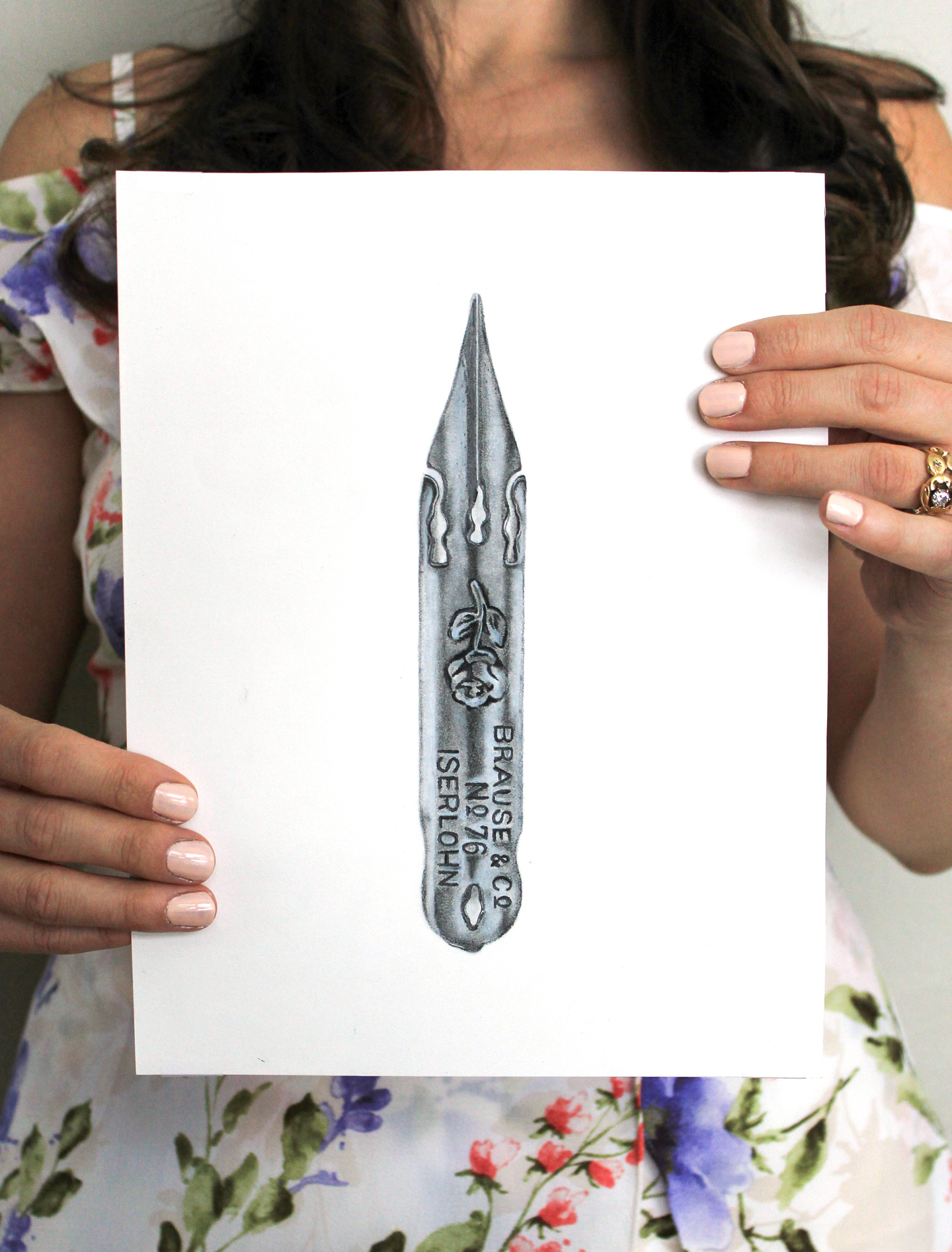
Once you’re happy with how the pencil draft looks, it’s time to trace over your pencil lines with a dip pen and waterproof ink. For this step, I prefer to use a straight pen fitted with a Nikko G nib and Ziller Soot Black ink.
I like to use Ziller Soot Black ink because it’s completely waterproof once dry. India ink also works, but I find it to be a little less reliable in its waterproof properties.
Once you’re finished, let the piece sit for several hours or overnight, then carefully erase your pencil lines.
Be gentle as you erase! You don’t want to accidentally wrinkle or crease your paper.
5. Add Watercolor
Once you erase your pencil lines, it’s ready for watercolor! Try using a small brush to paint buildings first. Once the paint you used for the buildings dries, you can use a larger brush to add some color to the map’s landscape.
Start by adding some color to the tiny, detailed parts of the map, like buildings. If you’re intimidated by watercolors, you can always fill in your map with a medium that you’re more comfortable with, like colored pencils.
Filling in the map with watercolor is basically like filling in a detailed coloring page. Again, this step takes some patience, so set aside at least an hour or two to complete it! Once you’re finished filling in the piece, leave it alone for a couple of hours. Then, look at it with fresh eyes from a distance of a few feet. You’ll probably find that the piece needs more contrast, which you can add with additional layers of watercolor!
I ended up adding a lot of contrast to this map. At first, all of the landscape was green, which made it look a little too homogenized. Some brown accents fixed that! I also ended up adding colored shadows to most of the calligraphy.
You’ll know you’re finished when you can look at the piece from a distance and feel good about it. The colors and contrast should all work together to create a piece that makes a casual observer want to take a closer look!
6. Digitize the Watercolor Map for Printing (Optional)
If you created your watercolor map with the intention of distributing it to several recipients, you’ll want to digitize it in Photoshop. Scan it into your computer, play with the color levels, maybe use the burn tool to add additional contrast for printing, and make sure you include bleed room! (If all of that sounds foreign to you, don’t worry — you can learn all of it in the Digitizing Artwork and Calligraphy eCourse.)
If you don’t know how to digitize your artwork, learn! Photoshop isn’t as difficult as you think, and I take you through it one step at a time in this eCourse.
Once you’ve digitized the piece, send the file to a professional printing company. If you know of a good local place, definitely patronize them! It’s nice to work locally because you can easily go in and see samples and talk about your project. Otherwise, I’ve had excellent luck with printingforless.com! Their printing, paper, and customer service is off the charts.
I hope that you enjoyed learning about how to create a watercolor map! It’s not a short process, by any means, but it’s certainly one that’s worth trying. I’ve made several maps thus far — some with watercolor, some without — and all of them have been fun and challenging to make! If you find that you have a knack for custom maps, try selling them on Etsy (just follow steps 2-7 of the How to Make Extra Income Selling Calligraphy article). Clients love them, so if you enjoy making them, it’s a win-win!
If the process outlined in this blog post seems intimidating, consider taking my Illustrated Watercolor Maps 101 eCourse! I’ll walk you through exactly how to make a beautiful map of Paris over the course of nearly 4 hours of classes. We’ll cover layout tricks, draft tips, watercolor techniques, and how to make a background that perfectly brings everything together!
Thanks very much for reading, and have a fun, creative weekend!
TPK’s innovative newsletters and tutorials are a regular artistic treat. Join the 125K+ subscribers who have already discovered The Postman’s Knock, and receive 10% off your first Digital Catalog order.